

Evansville Vanderburgh County, IN About The Study
The University Parkway Corridor Plan makes recommendations for a moderate amount of growth in the corridor that will be compatible with the surrounding land uses, and will not degrade the ability of the Parkway or the general road network to efficiently carry future traffic. Specific examples of development recommended for the southern portion of the corridor includes low density residential uses, neighborhood, commercial, mixed use and a technology park. In the remainder of the corridor, the existing agricultural uses and natural resource features are recommended to be preserved. An overlay zone is also proposed in conjunction with the Plan as an amendment to the Zoning Code specifically for the corridor to ensure that new development will conform with the policies recommended in the Plan (Appendix A).
The Vanderburgh County Commissioners, Evansville-Vanderburgh County Area Plan Commission (APC), and Evansville Metropolitan Planning Commission (MPO) have partnered to create the University Parkway Corridor Management and Land Use Plan. The team of Rundell Ernstberger Associates, Lochmueller Group, and Power’s Engineering Inc assisted the APC and MPO throughout the planning process.
The parkway serves as an important transportation thoroughfare in western Vanderburgh County, connecting State Route 62 and the University of Southern Indiana north to State Route 66. The goal of the corridor plan is to coordinate transportation investments with planned future development. The project area includes approximately 6,000 acres and is bounded by State Road 66 to the north; State Road 62 to the south; Schutte Road, Peerless Road, and Church Road to the east; and the Vanderburgh/Posey county line to the west.
Multiple land use scenarios and transportation system improvements have been evaluated. A preferred land use and transportation system has been recommended along with access management strategies and bicycle and pedestrian facilities to ensure safety and maintain the integrity of the corridor. These recommendations were built off the recently adopted Evansville-Vanderburgh County Comprehensive Plan 2015-2035 and other existing plans related to the area. The planning process included a review of existing conditions, multiple opportunities for public input, recommendations for future development and infrastructure improvements, and potential amendments to the zoning ordinance to ensure future development meets the vision and intent of the corridor plan.
The Plan is in it's final phase of public review. The Area Plan Commission will hold a public hearing on June 6, 2019 to consider the final draft for adoption. The County Commissioners will hold a second public hearing to consider adoption of the Plan following the APC meeting. A date for that meeting has not yet been scheduled (once that meeting date is announced, it will be provided here.)
Please continue to check back to this page for updates on project materials and progress.
There are 8 major sections of the University Parkway Corridor Plan as well as an overlay district that have been created during this process:
- 1. Existing Conditions: Existing conditions in the corridor were reviewed and updated including land use, zoning development policies, socio-economic data, transportation, and utility infrastructure. A complete picture of the area surrounding University Parkway has been established to form a good basis for decision-making during the planning process.
- 2. Vision: The vision is the overall future state of the area at the culmination of 15-20 years of implementation of this plan. The overall vision guides the development of the objectives, programs, and policies of the plan. The vision should be bold and innovative, yet pragmatic and realistically achievable. Stakeholders, the public, and the steering committee all have had input into creating a strong overall vision for the corridor.
- 3. Land Use Framework: A series of 3 land use scenarios were developed highlighting different levels of future development for the corridor - 1) A high level of growth currently allowed under the existing Zoning & Subdivision Codes; 2) Moderate development; and 3) A very low level of development. The existing conditions data were analyzed to convey the impacts of each scenario regarding development. The land use scenario that develops in the area determines the future improvements and the timeframe in which they need to be completed. Of the scenarios studied, Scenario #2 is recommended as the one that most closely conforms to the community's vision for the area.
- 4. Transportation and Utility Framework: Balancing infrastructure improvements, access management, and level of service while accommodating growth and development will be a primary goal of the plan. Based on the existing infrastructure and the amount of growth in the preferred land use scenario, recommendations are identified for future transportation improvements and utility extensions.
- 5. Aesthetic Framework: Based on the final scenario, visual and aesthetic standards for the corridor have been developed that will help to unify development and create a brand along University Parkway. This would entail developing landscape concepts, cross sections, potential materials, and planting suggestions, many of which have been incorporated into the zoning recommendations.
- 6. Implementation Plan: Although the vision and goals provide overall direction for the plan, the actual objectives, programs and policies provide a defined and measurable action for implementation. Each objective, program or policy includes an action plan for implementation. Key elements of each project/program/policy are described such as timeframe, lead agency, type of program (policy, administration, project), cost estimate and potential funding.
- 7. Draft and Final Plans: The product of this process, a final draft plan and draft overlay district have been created and are available to the public for final review. After the public review period, these documents will proceed to be considered for adoption in public meetings by the APC and County Commissioners.
- 8. Overlay District: Based on the recommendations for land use, transportation and aesthetics, an overlay district has been developed that, if adopted, will implement those recommendations. An overlay district is a special set of requirements for an area that is drawn on top of base zoning districts. The overlay district can either add or remove standards from the base district in order to achieve a different pattern or characteristics of growth. The purpose of this is to tailor the development to the corridor without impacting the base zoning districts throughout the County.
Get Involved
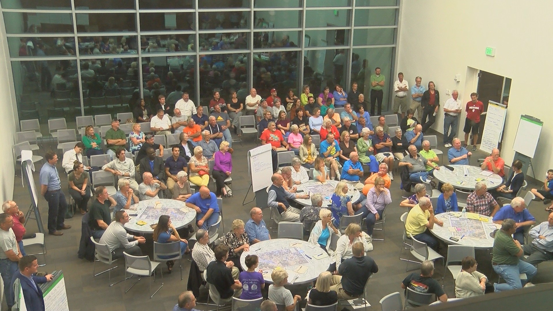
We have crafted the University Parkway Corridor Plan and process to provide opportunities for residents, businesses, and other civic and non-profit partners to communicate their vision for the corridor and identify what issues are most important for the Consultant team to address along this corridor now and in the future. We strongly desire community involvement and encourage citizen participation in this process. We know that the success of this planning effort will depend on engaging our community, so we have provided multiple ways for you to get involved. This website is just one of the many ways you can participate. Click on a link below to find out more.
PUBLIC MEETINGS
3:00 p.m, Thursday, June 6, 2019
City Council Chambers, Room 301, Civic Center Complex, Administration Building, Evansville, Indiana
PROJECT UPDATES
Interested citizens are invited to participate in the June 6, 2019 Area Plan Commission meeting to hear a presentation of the final draft of the University Parkway Corridor (UPC) Plan, hear final public comments, and consider the Plan for adoption. This meeting will be held in room 301 of the Civic Center at 3:00 PM. Your input is important to help determine the future of the corridor.
*NEW*
CORRIDOR PLAN DRAFT 2019
PROJECT DOCUMENTS
As documents are prepared as part of the University Parkway Corridor Plan, they will be posted here for the public to review and provide comment. Click on a link below to download the pdf file.
Press Release (1)
Property Owner Notice Letter
University Parkway Corridor Public Meeting 1 Presentation 9/18/2017
University Parkway Corridor Public Meeting 1 Notes 9/18/2017
(DRAFT) University Parkway Existing Conditions Report
Survey #1 Results
Survey #2 Results
Press Release (2)
Property Owner Notice Letter (2)
Open House Boards
Public Notice (3)
CORRIDOR PLAN DRAFT 2018
*NEW*
CORRIDOR PLAN DRAFT 2019
Frequently asked questions
What are the future development Plans for USI?
- USI is currently undergoing an update to their master plan. The plan will guide the direction of the University’s growth in the coming years. To learn more regarding the plan please visit www.usi-masterplan.com
What are the potential impacts to property values?
- The intent of the plan is not to impact property values.
Will there be other infrastructure upgrades (internet, phone, fiber)?
- These utilities are owned and operated by private entities. At this time, they have not released anyinfrastructure improvement plans for this area.
What mitigation strategies are there for noise?
- Noise mitigation is outside the scope of the study. However, the potential relative noise impacts of different intersection control options or zoning buffers will be taken into account whenevaluating different alternatives. Mitigation methods depend on the source and existing conditions of the impacted site. Some common methods include increased setbacks, screening walls, vegetative buffers, or a combination.
What is a Technology Center?
- A technology center/park has various definitions in different communities. The 2040 Millennial Plan describes the technology park as a business incubator and accelerator with operations like co-working space, technology business accelerator with prototyping facilities, 3D printing, mentorship, training, and financial assistance resources. The center would potentially be a partnership with USI or other interested parties in Evansville. The center would act as an economic development opportunity to advance new and small businesses by providing them access to technology and technical resources (The Millennial Plan for 2040, Vol. 2).
How are water and sewer improvements being funded along University Pkwy?
- The County Commissioners are responsible for the cost of the sanitary sewer improvements, which they have indicated will be paid for through the use of Tax Increment Financing (TIF) funds. The Evansville Water & Sewer Utility is responsible to complete the acquisition of all land rights for the project. This includes the land for the lift station site and easements along the force main corridor. Citizens can call the County Commissioners office at (812) 435-5241 forinformation about the sewer improvements, including the lift station, and the funding sources.
Emergency Services – would growth overextend existing services? What are the impacts/costs to emergency services?
- According to interviews with an Emergency Management Agency (EMA) official, the corridor is currently well served by existing stations in surrounding areas including Posey County, Perry Township, and Delaware Township. If development increases, the need for additional stations would depend on the intensity of development and increase in traffic volumes. This will be examined when the concepts are being developed.
How will future development impact stormwater drainage?
- Any future development will be required to meet existing drainage standards set by the county. The Stormwater Drainage Control ordinance is listed below. As part of this study, higher drainage standards could be considered.
- http://www.evansvillegov.org/egov/documents/1500989201_69203.pdf
Who is proposing development?
- We only know of one developer that has been wanting to build along the west side of the Parkway north of Lloyd and south of Hogue Rd. That developer is Gene Pfeiffer, who had his land rezoned for commercial and residential uses several years ago. The project has not proceeded due to lack of sanitary sewers. He is the only individual we know of that has filed any development request or rezoning, other than Tom Haas who has been developing homes and condos in the area for years and is currently constructing condos adjacent to his existing development site in the corridor. The majority of the corridor has the same issue -- before it can be developed, it will need sanitary sewers. As a result, the County Commissioners funded a project to design a sanitary sewer extension for the southern portion of the area. The push for this corridor plan did not come from private developers. It came from the action by the County Commissioners to fund the design of an extension of sanitary sewers further into the University Parkway corridor, which will result in future development. The corridor plan is a direct result of this eminent development, as the corridor plan was initiated to allow the community to be prepared for this growth; while at the same time help to determine the best locations for that growth, the type of development desired, and the specific features of that development to ensure quality growth. The Plan will also address the areas that should not be developed, so that substantial agricultural use and open space will remain within the corridor. The corridor plan is not about who wants to develop. It is about when development comes, for the community to be prepared so that it does not happen in a haphazard manner with major negative impacts to the area. Commercial Site Review Committee
TIF – What is it, where are funds allocated and what are the impacts on residents?
- TIF stands for Tax Increment Financing, an economic development tool permitted by state law. When a local jurisdiction designates an area a TIF District, a portion of the taxes generated from new development are collected to be used within in the district for such things as studies, roadways, other transportation improvements, utility improvements, etc.
Are there plans for annexation in the study area?
- Currently, there are no plans to annex the area, and it would be difficult to do so as there are criteria for a percentage of a new annexation boundary to be contiguous to the existing City boundary.
What are the impacts of industrial development?
- The impacts of industrial development can vary depending on scale and type of industrial uses. Hopefully, these impacts would be addressed in any overlay zone requirements or at least partially mitigated in the development review process. Examples of potential impacts are:reduced property values, noise, air pollution, truck traffic, etc.
What is the intended zoning for the area?
- No zoning changes have been suggested related to the University Parkway Corridor Plan. The current zoning is mostly agricultural spanning the corridor from Hogue Rd. up to Diamond Ave. The Evansville-Vanderburgh County Comprehensive Plan 2015-2035 makes suggestions with the future land use plan but this does not change the zoning. The same could be said for the corridor plan.
- Zoning Map
- Zoning Regulations
How many acres are zoned commercial?
- Currently there are roughly 21 acres zoned community commercial (C-2) and 79 acres zoned general commercial (C-4). The commercial zoning is south of Hogue Road and west of University Parkway.
How is Majestic Place incorporated into the project?
- Majestic Place is an approved development and therefore it will be considered when developing land use recommendations. At this time, no scenarios have been created to indicate how it will be addressed.
What is a zoning overlay? What does it mean and how does it apply to locals?
- An overlay district is a zone that is placed onto the top of existing zoning districts. The overlay zone can change standards by either reducing regulations, or adding additional regulations. Items that the overlay could influence include: the types of uses; the height, area, or setback requirements; architectural standards, landscape standards; and driveway or other access regulations.
Was the traffic study conducted while USI was in session?
- All the peak period intersection traffic counts were collected on August 29th and/or August 30th, 2017. This was more than a week after USI started the fall session but outside of the influence of the Labor Day holiday. It should be noted that additional, historic Average Daily Traffic volumes were also reviewed for context. These counts are collected by INDOT or the EMPO throughout the year and adjusted for seasonality.
What has the County proposed for the extension of University Parkway to I-64?
- The extension of University Parkway to I-64 is part of the regional long-range plan. However, it is not funded and has not been through the necessary environmental studies, so there is no established timeframe or preferred route for this extension.
After the study is completed, how will the enforcement of the plan be handled?
- The plan will be a guide for the County Commission, APC, and governing bodies. However, it is only a guide and the governing entities do not have obligations to follow it. As part of the scope, the consultant is developing an overlay zone. If the County Commissioners adopts the overlayzone regulations, they would be enforced by the APC.
Why is development needed here? Is there a community need?
- The corridor plan itself will answer these questions in the market analysis that will be included in the plan. The consultant preliminary findings show that there is little need for big box retail. With the continuation of residential development, there will be a need for smaller neighborhoodserving commercial.
Is this plan due to the county wanting more tax revenue? What is the motivation for development?
- It is true that any new development would add to the County’s tax base. However, the main point of the corridor plan is to help the community prepare for what is to come in the future. With the County Commissioners’ planned sewer extension, some amount of future development is now a certainty. The motivation for development will be from individual land owners that decide to develop their land because of access to new sewer. There will be other property owners in the corridor who will not be motivated to develop their property, and may choose to keep their land as is. It will be up to each property owner to decide what they want to do with their property. All this plan does is provide a guide for the future of the corridor.